Hello everyone!
Early this morning, Elsa became a hurricane after sustained winds of 75mph were measured by a weather station in Barbados as the storm passed just south of the island. Hurricane Hunters have been flying through the storm for the first time in its life and have found slightly stronger winds since then with the official intensity as of 5 PM EDT now 85 mph. This represents a bit more strengthening than was expected yesterday, and that may have implications for Elsa’s track down the line.
We’ll start, as we always do, with a look at satellite imagery.
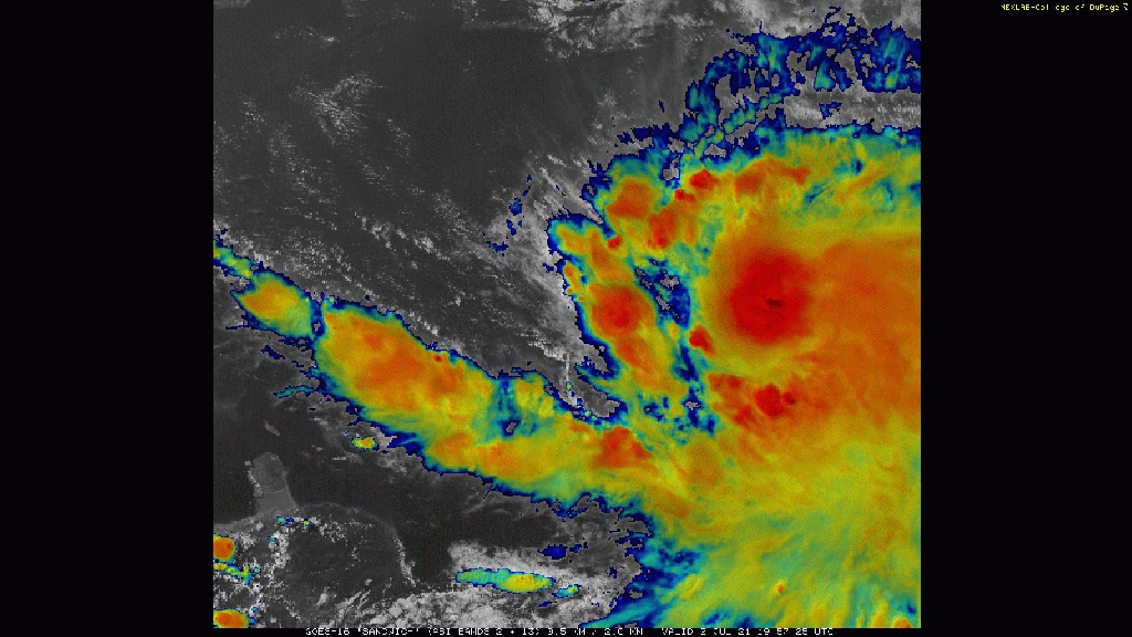
Elsa looks much healthier today than at this time yesterday. Instead of its thunderstorm activity being pushed east of the center by wind shear, it has an impressively symmetric appearance with a central region of cold cloud tops and spiral bands now producing deep convection west and northwest of the center. The bands to the northwest are especially important because that’s the direction from which the shear is impacting the storm. The more convection can amass upshear of the center, the better chance Elsa has at maintaining its intensity or even continuing to strengthen.
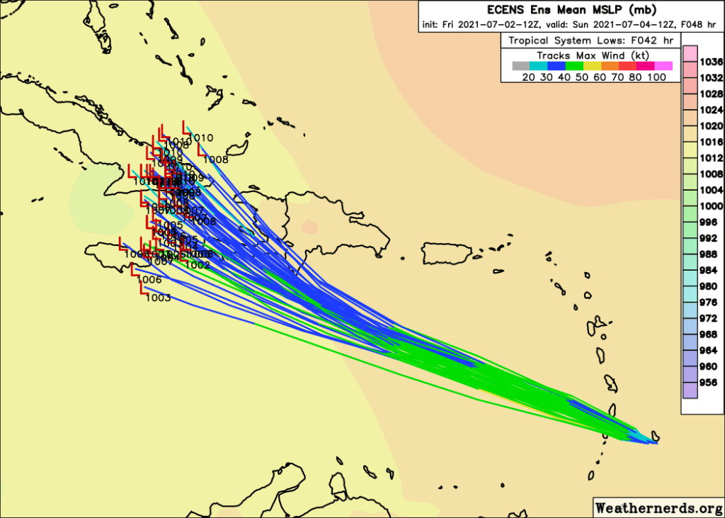
Elsa has been moving more or less along the course set out for it by forecast models and us human forecasters, though it’s worth evaluating some of the model guidance to identify any errors that might be cropping up in the short term.


The top map shows a comparison of Elsa’s actual positions (“X”) with the past few predictions by the GFS ensemble system while the bottom image is the equivalent evaluation of ECMWF ensemble guidance. ECMWF guidance has consistently favored a much farther north and weaker future for Elsa with many members dissipating the storm altogether over the mountains of Hispaniola. GFS guidance on the other hand has consistently pointed to a much stronger system tracking farther southwest. As you can tell from the maps, Elsa is tracking a bit north of the GFS and a bit south of the ECMWF which means that we should take each extreme solution with a hearty grain of salt. As with many situations, if you have multiple good forecasters make a prediction, the outcome will probably lie closer to the average of all the predictions than any individual guess.
That said, in this case I might be tempted to slightly weight my average given another clue relating to the storm’s intensity.

Tropical cyclones are steered by the mean wind through a layer of the atmosphere. The depth of this layer is determined by the strength of the storm- the stronger the storm, the deeper the layer. Starting near the ground this evening and continuing up to around 500mb, we note that winds in the environment surrounding Elsa are out of the southeast at around 20-30 mph. That would set the storm motion for a weak to moderate system (TS to Cat 1 hurricane) which explains why the storm is currently moving WNW at around 25-30 mph.
If Elsa continues to strengthen though, it would start to include some of the ENE winds between 500 and 300mb in its layer average. That would cancel out some of the southerly component to the low-level winds and result in a storm motion similarly fast but more to the west than northwest.
You can see this show up in model guidance forecasts from the ECMWF ensemble where the members forecasting Elsa to remain on the stronger side (in green) are disproportionately represented near the western edge of the range of possible outcomes while the northeastern part of the range is filled with mostly blue lines denoting members forecasting a weaker system.
So if Elsa keeps cranking away as a hurricane, and especially if it is able to intensify any more tonight, expect the odds of a track more to the west/southwest to increase relative to the odds of a turn north sooner.
This has big ramifications for the intensity forecast too. Note that Elsa is expected to pass just south of the islands of Hispaniola and Cuba. If the storm moved over these islands, they would very likely disrupt the circulation and lead to weakening if not total dissipation. A track even slightly farther south would open up hundreds of miles of warm water for continued intensification.
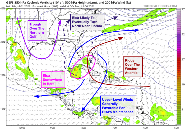
This graphic from yesterday’s post still does a perfectly good job outlining what’s expected starting around Monday when the storm will either be near or over Cuba. A trough over the northern Gulf of Mexico will help turn the storm to the north in the general direction of Florida.
At this point, I feel pretty confident in saying that southern Florida will experience some rain/wind as a result of Elsa, though the magnitude is an entirely different story. If Elsa traverses the island of Cuba, it’s hard for me to see it making it to Florida as anything more than a low/mid-grade tropical storm. If Elsa can stay just south of the island though, it could be making this northward turn as a hurricane.
There’s still too much uncertainty regarding the forecast for Florida to get too concerned right now. That said, this weekend is an excellent time to brush up on your hurricane plan and top up your supplies for the season if you haven’t done so already. If you’re especially sensitive to potential power outages and/or flooding from heavy rain bands, you might want to start moving on preliminary preparations as gusty squalls look fairly likely regardless of Elsa’s core wind speed as it nears the peninsula.
As always, please consult forecast sources at nhc.noaa.gov and weather.gov to guide decisionmaking. Graphics in today’s post come from tropicaltidbits, weathernerds, Brian Tang, and NESDIS.
-Jack
